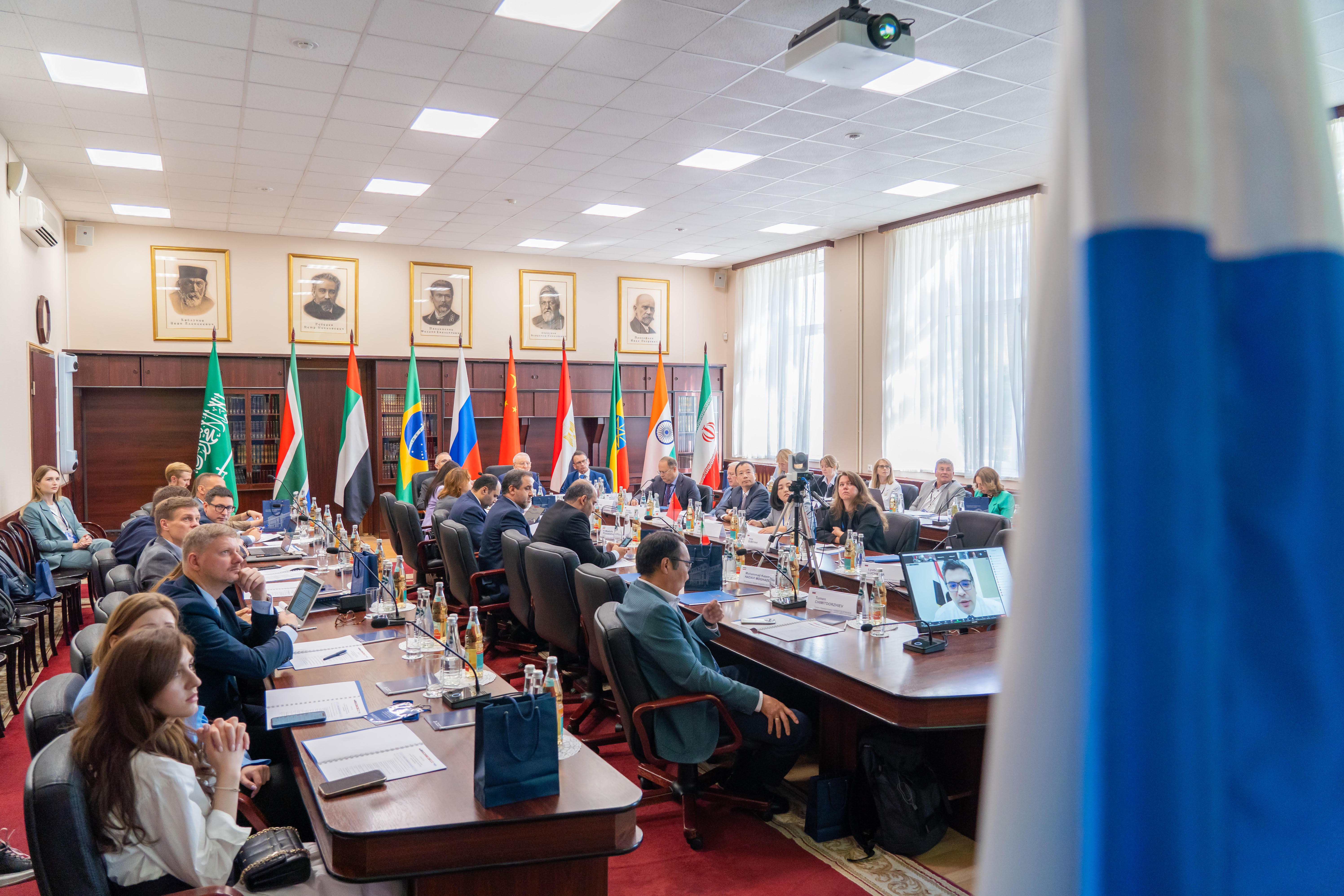
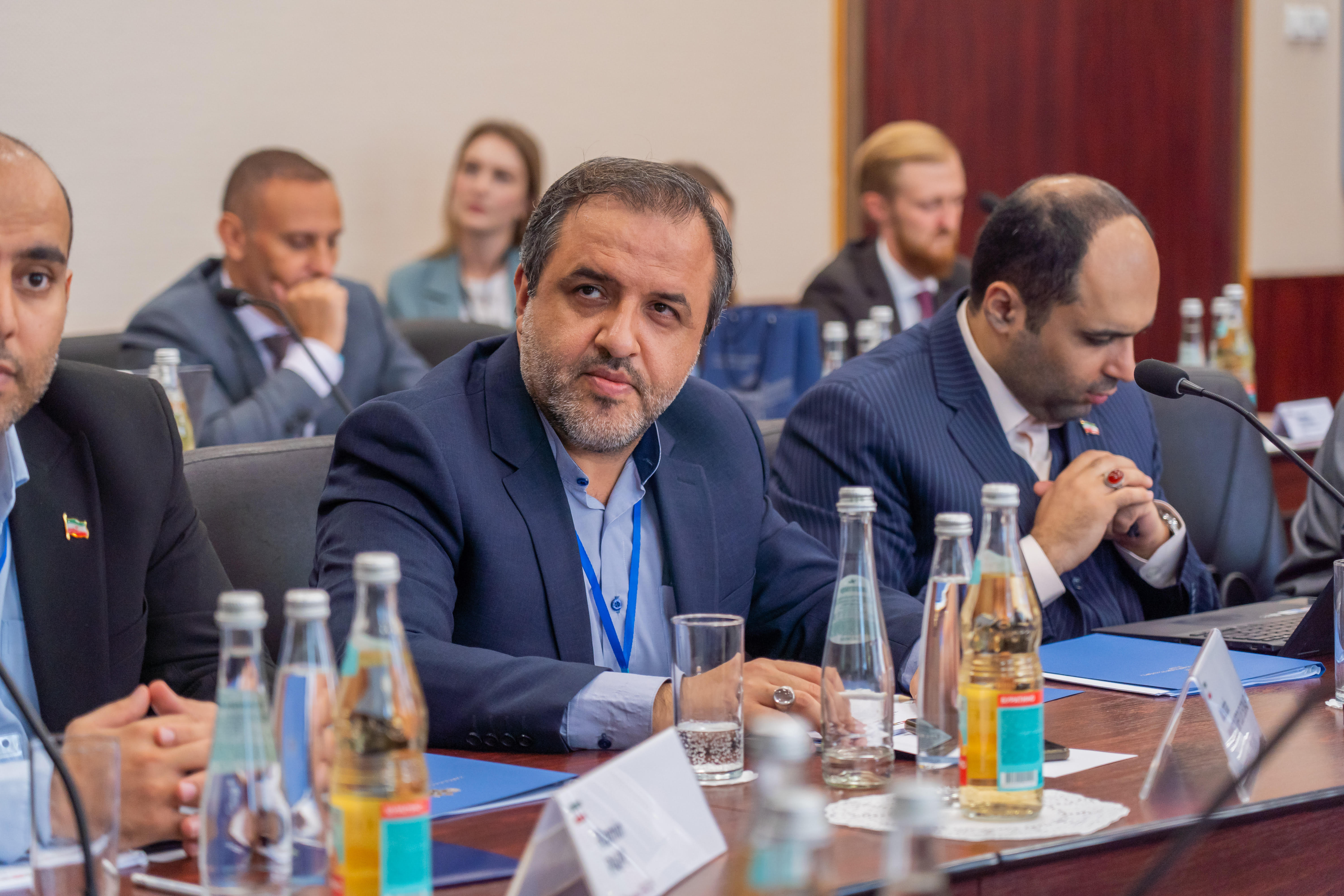
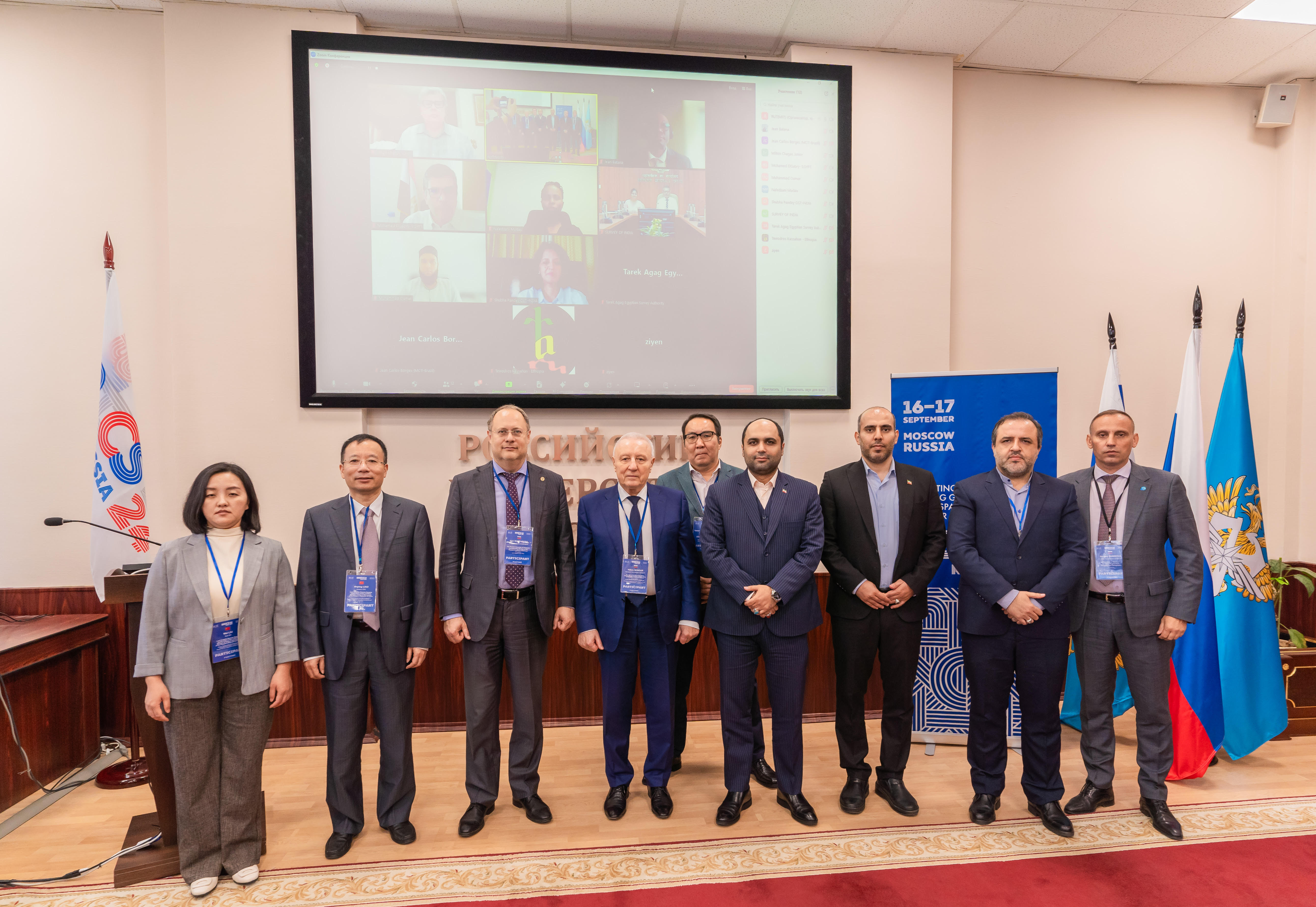
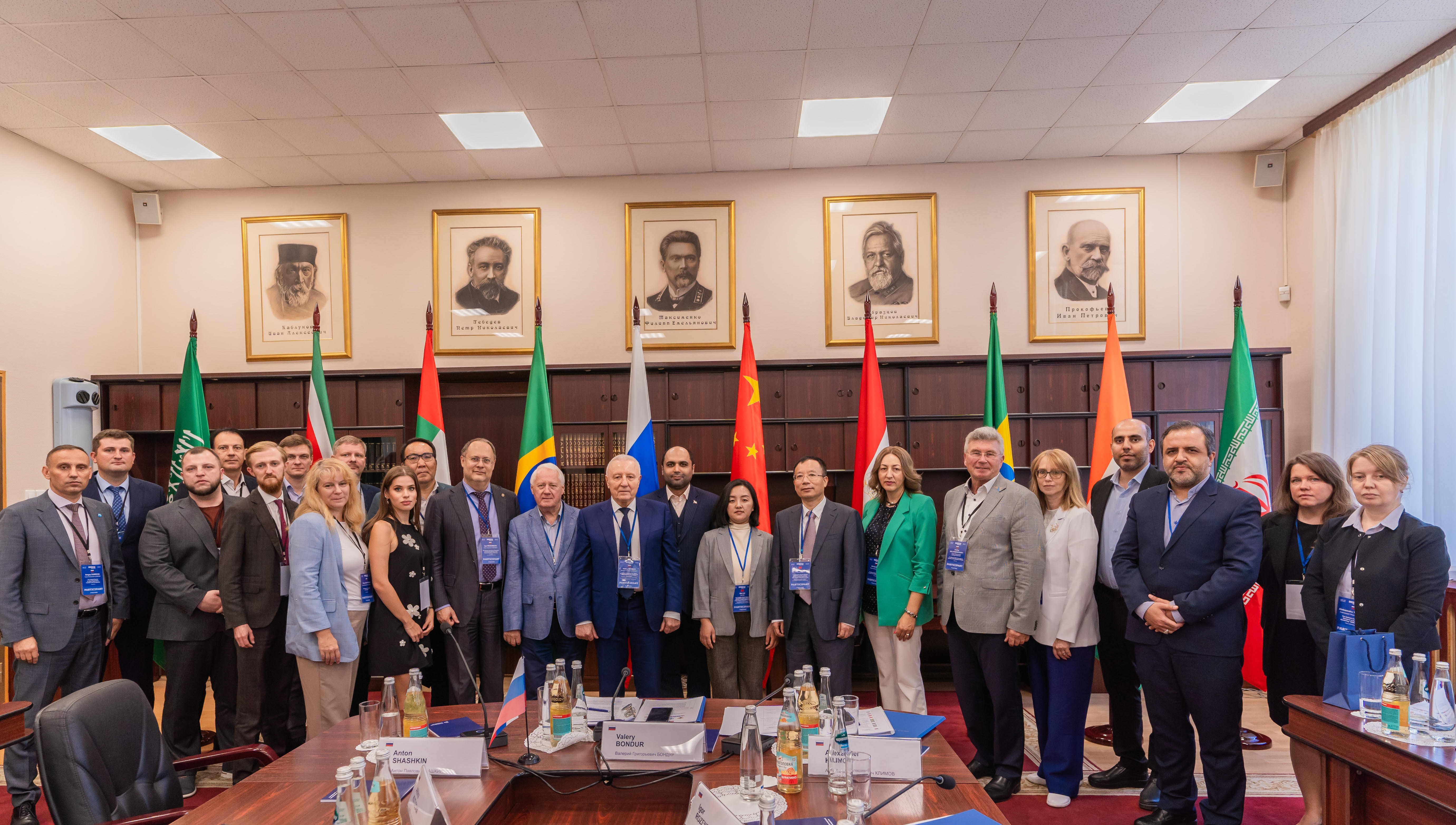
On September 16-17, 2024 the third meeting of the BRICS Working Group on Geospatial Technologies and their Application was held in Moscow under the Russian Chairmanship in BRICS.
The meeting was organized by the Russian University of Transport (RUT (MIIT)), the Research Institute of Aerospace Monitoring “AEROCOSMOS” (NII “AEROCOSMOS”) and the Federal Service for State Registration, Cadastre and Cartography (Rosreestr) with the support of the Ministry of Science and Higher Education of the Russian Federation.
Opening the meeting, the Deputy Director of the Department of State Policy in the field of scientific and Technological Development of the Ministry of Science and Higher Education of the Russian Federation Mr. A. Rykov, noted that the Meeting was of particular significance for a number of reasons. “Firstly, I am gratified to report that we have been able to convene the third meeting despite a lengthy interval of seven years. The second meeting of the working group was held in India in 2017. Secondly, this is the first time the Working group meets in an expanded format. It is encouraging to note that new members have joined the traditional ‘five’, which will facilitate a notable expansion in the opportunities for interaction within the Working Group”. He highlighted that the BRICS group was not merely a collection of nations with varying economic and political structures, but rather a forum for fostering collaboration across diverse cultures and civilisations, guided by the principles of sovereign equality, mutual respect for individual development paths, and a commitment to consider each other’s interests. The BRICS alliance has evolved into a unique platform for global partnership, encompassing countries from nearly every continent.
 |
 |
During the meeting, the participants from the BRICS countries reported on the geospatial landscapes in their countries, ongoing projects and national policies in this area. The representative of the BRICS STI Framework Programme Secretariat Y. Sorokotyaga made a presentation on the activities of the BRICS STI Framework Programme. According to the statistics, since 2016, six joint calls have already been held, with 157 projects receiving support. Special attention was paid to the mechanism of launching the pilot call of the BRICS STI flagship projects. He noted that this topic would also be discussed at the upcoming meeting of the BRICS STI Funding Working Group, scheduled for September 24-25, 2024. Russian participants also made presentations on the national spatial data system in Russia, new geospatial technologies for hazard detection using radar space data and many others.
One of the most important outcomes of the meeting was the approval by the participants of the draft Terms of Reference for the Working group on geospatial technologies and their application. This document defines the general framework and mission of the working group, as well as its structure and operating procedures.
The participants discussed further plans for the year of 2025.Thus, they approved the draft initiative to hold online webinars on the topics of “Spatial data funds and electronic services”, “Organizational, legal and technical aspects of spatial data infrastructure development”, as well as “Application of modern solutions in the field of cartography”.
 |
 |
The parties will continue to develop the plan of activities for the next years, update the contact information of the working group members in each country, as well as consider the possibility of creating a mechanism to support joint research projects. In addition, it was agreed to promote cooperation between research and educational organizations of the BRICS countries to share knowledge, best practices and conduct joint research.
Following the meeting, the participants supported the proposal to hold the next (fourth) meeting of the BRICS Working Group on Geospatial Technologies and their Application in 2025 in Brazil.
